Nowcast/Forecast
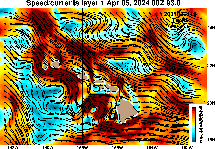
To help prepare for operations at Station ALOHA, it is important to know present sea conditions for the site. Such "nowcast" information is readily available from several sources. Experimental forecast information is also available, and maybe helpful in planning operations.
Nowcast/forecasts from the Hawaii region can be obtained from the Naval Research Laboratory (NRL) Global Hybrid Coordinate Ocean Model (NRL 1/12th degree HYCOM).
Nowcast/forecast information is also available from the Regional Ocean Modeling System (ROMS) ocean model for temperature, salinity, velocity, and surface height, currents, and model trajectories. This is provided by Brian Powell (UH) through PacIOOS
The NRL Navy Coastal Ocean Model (NCOM) also produces nowcasts of the same parameters as HYCOM on a coarser grid and plotted for a smaller region around Hawaii.
*Any opinions, findings, and conclusions or recommendations expressed in this material are those of the author(s) and do not necessarily reflect the views of the National Science Foundation.


